Tjänster
Laserskanning är en effektiv metod för att dokumentera och digitalisera en byggnad, en väg eller en terräng med hög noggrannhet. Vi erbjuder laserskanning från många olika plattformar och är experter på att hitta rätt lösning för våra kunders behov, oftast genom att kombinera olika skanningsmetoder.

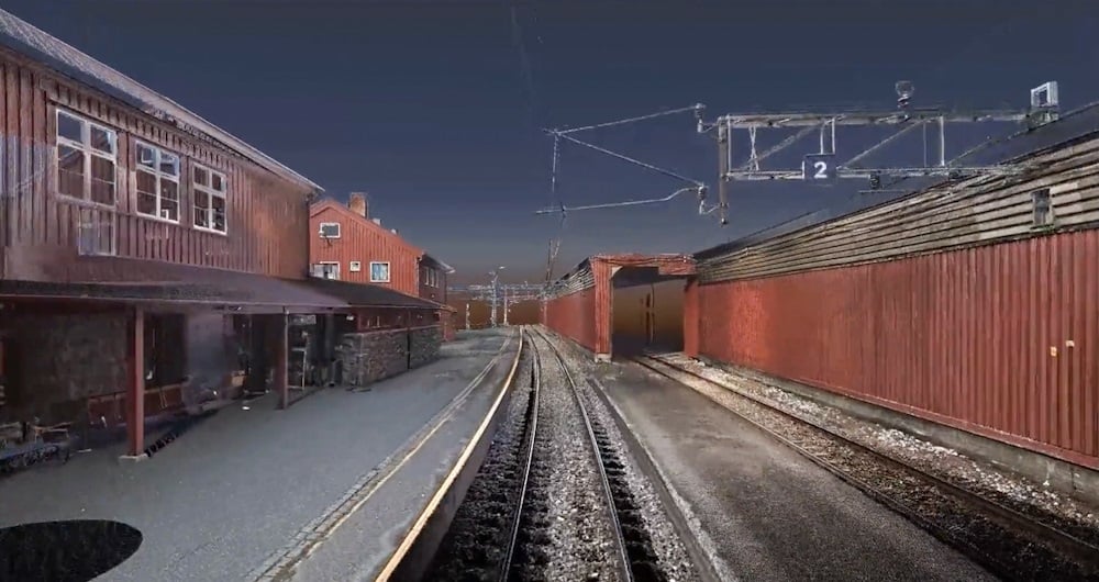
3D-laserskanning är en av de mest exakta skanningsmetoder vi använder.
Laserskannern är statisk och flyttas manuellt från skanningsposition till skanningsposition, vilket ger ett mycket detaljerat punktmoln med RGB-färger och 360-panoramabilder.
Punktmoln med den här noggrannheten och detaljrikedomen är idealiska för att dokumentera en befintlig situation.
Denna metod kan användas på många olika sätt, bland annat:

What is 3D scanning?
3D scanning uses various types of sensors to reliably measure and record objects in three-dimensional space. The resulting point cloud of data provides accurate point clouds of interior environments, buildings, or structures. This is useful in architecture, engineering, and other fields for accurate documentation and analysis of indoor environments.
What accuracy do you need?
The accuracy you order has a lot to do with the price. In general, the higher the accuracy you need, the more it costs. Consider what you will use the result for. And choose the accuracy according to your needs. We are happy to help you make the right choice!
Revit, ArchiCAD, and IFC models?
All three are BIM (Building Information Models). Which one do you need? Check who will be working with the model and what they prefer to work in. An architect will often prefer an ArchiCAD model. Others will prefer a Revit model. And some will only want a 2D drawing. Be sure before you order. You can save a lot of time and money here. We can also help you figure out what you need!
Do you offer Google Street View?
Are you tired of traveling to the project to take measurements and check things that were forgotten during the inspection? We can scan and create a Google Street View of your project so you can take measurements and even operate the building from your PC, mobile phone, or tablet.
What does LOD mean?
In 3D scanning, LOD refers to different levels of detail that can be selected based on the needs and purpose of the model. Lower LODs can be used to represent general shapes and contours, while higher LODs provide more detailed information, including smaller details and textures.
How does 3D scanning improve quality control?
A 3D scan is excellent for checking that what has actually been built is in accordance with the drawings. We use 3D scans and compare them with the BIM model. This allows us to see what is within tolerances and what is outside them.
3D-laserskanningsmodell av järnvägsnätet
Landmätning spelar en avgörande roll i planerings- och genomförandefasen för de flesta infrastruktur- och byggprojekt världen över. Landmätning säkerställer noggrannheten mellan digitala modeller och den fysiska världen. Landmätningstekniken fastställer punkternas exakta geografiska tredimensionella position samt avstånden och vinklarna mellan dem. Vårt team har lång erfarenhet av att leverera lantmäteritjänster till myndigheter, företag och privatpersoner, främst i hela Norge men även i Sverige och Finland. Utforska fler tjänster Field nedan.
Följ med oss och hjälp till att fånga och omvandla exakta geospatiala data till värdefulla insikter och digitala tvillingar.