
Ultraljudsskanning
Ultrasonic scanning is a non-destructive testing method that uses high-frequency sound waves to inspect and map the internal condition of materials and structures. By sending sound waves into concrete, steel, asphalt, or rock, and analyzing how those waves reflect back, it becomes possible to detect hidden features, weaknesses, and changes over time—without causing any damage.
Kontakta oss


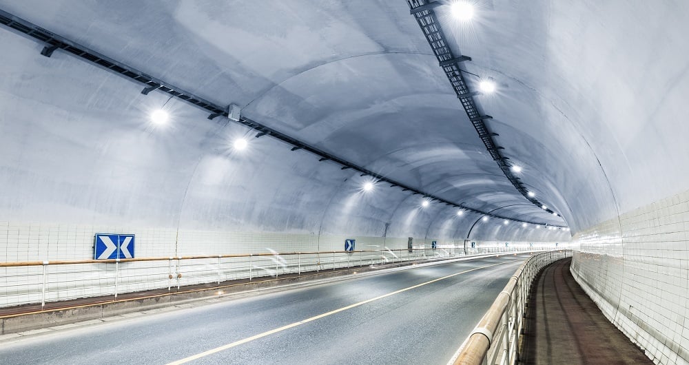
Mobil Kartläggning & Geofysik
Med laserskannrar monterade på en bil kan vi samla in miljontals punkter per sekund. Detta mycket detaljerade punktmoln används för att skapa vektormodeller i 3D och utgör en grund för att producera en TIN-modell för avancerade tillämpningar. Samtidigt med skanningen kan bilder och video tas. Bilderna är 360-graders gatuvybilder som kan nås och användas i en separat webbvisare, Mapspace. Vi kan också samla in information om vägförhållanden och kartlägga allmännyttiga tjänster, grundvatten och berggrund med hjälp av markradar. Utforska våra andra mobila karttjänster och geofysiska tjänster nedan.


